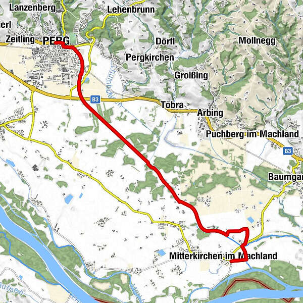
Donausteig Stage 4_G04 Perg - Mitterkirchen: „Along the canal through the Machland“

Chemin de Grande Randonnée
© WGD Donau Oberösterreich Tourismus GmbH/Weissenbrunner - Weissenbrunner

© WGD Donau Oberösterreich Tourismus GmbH/Andreas Kranzmayr - Andreas Kranzmayr
© WGD Donau Oberösterreich Tourismus GmbH/Hochhauser - Hochhauser

© Donauregion

© WGD Donau Oberösterreich Tourismus GmbH

© WGD Donau Oberösterreich Tourismus GmbH

- Brève description
-
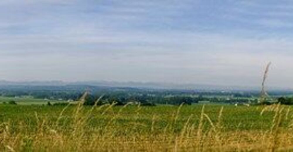
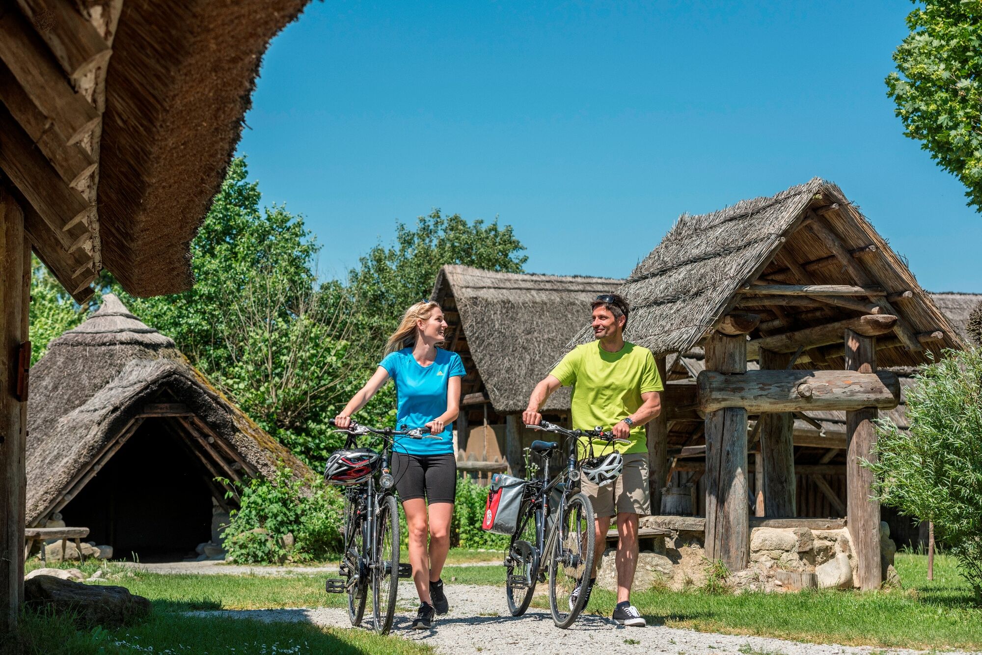
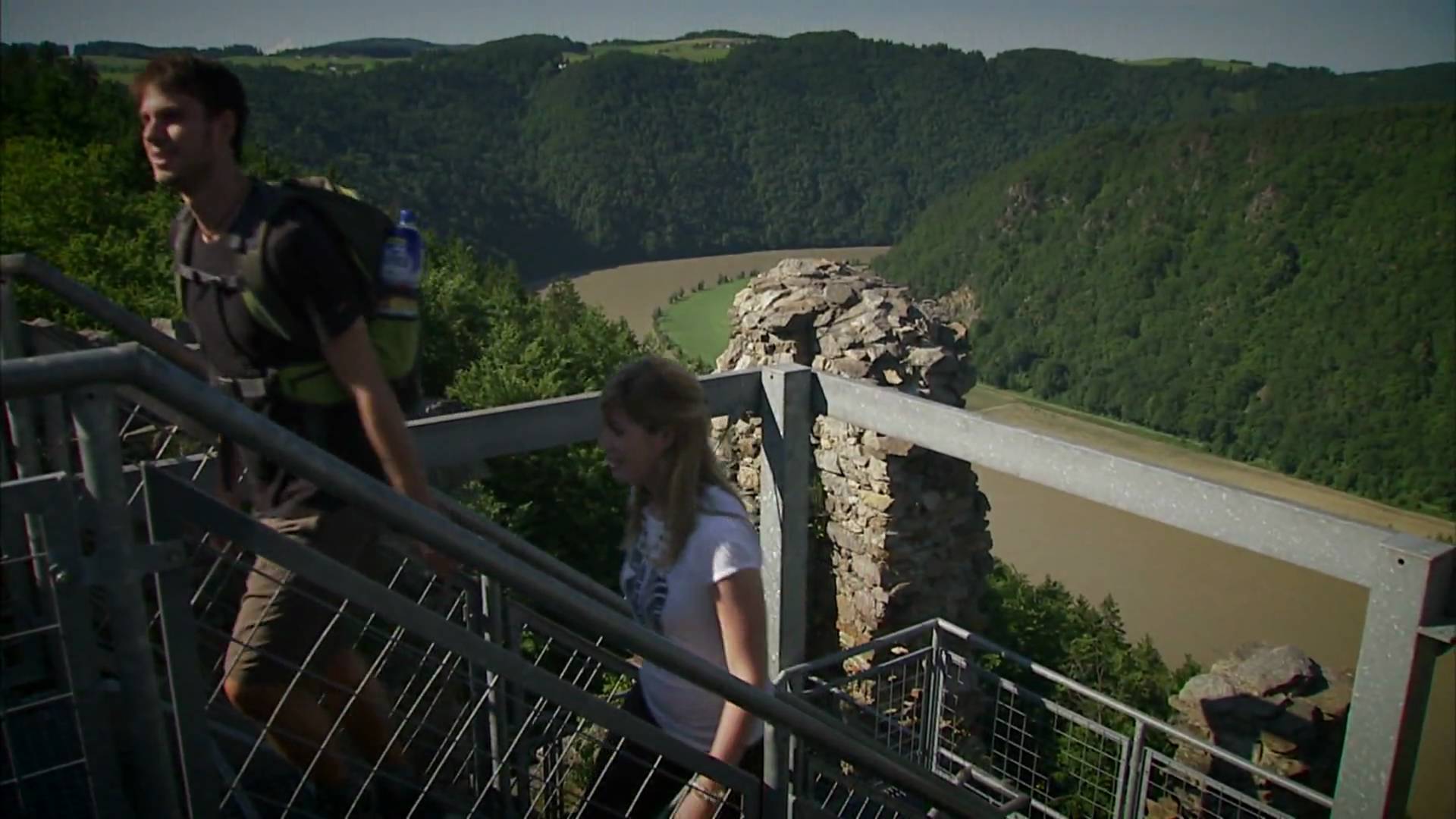
The Donausteig-simply fabulous! Starting from the historical town of Perg, we walk along the strictly regulated Naarnkanals (canal) through the fertile Machland (region) to Mitterkirchen. We discover the world of lumber floating on the Naarnkanal, the former celebrities of the Perger Mühlstein crushers, the project of the century "Machlanddamm (dam)"...
- Difficulté
-
facile
- Évaluation
-
- Parcours
-
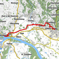
Stadtpfarrkirche PergPerg0,0 kmKickenau2,3 kmIn der Haid6,9 kmWagra9,1 kmLabing10,9 kmMitterkirchen im Machland11,9 km
- Meilleure saison
-
janv.févr.marsavrilmaijuinjuil.aoûtsept.oct.nov.déc.
- Hauteur maximale
- 250 m
- Point de mire
-
Mitterkirchen - The Donausteig-Starting point "Mitterkirchen" lies on the north end of the sport park (on the eastern city edge, approx. 300 m from the city center)
- Profil en hauteur
-


- Auteur
-
La randonnée Donausteig Stage 4_G04 Perg - Mitterkirchen: „Along the canal through the Machland“ est utilisé par outdooractive.com fourni par.
GPS Downloads


Informations générales
Point de rassemblement
Culturel/Historiquement
Flore
Autres parcours dans les régions
-
Mühlviertel
1785
-
Moststraße
754
-
Arbing
162