© Unbekannt - schwarz-koenig.at

© Unbekannt - schwarz-koenig.at

© Unbekannt - schwarz-koenig.at

© Unbekannt - schwarz-koenig.at
- Brève description
-
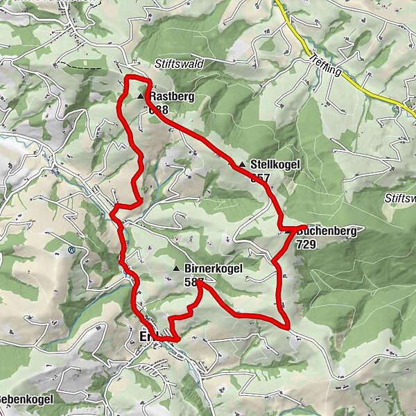
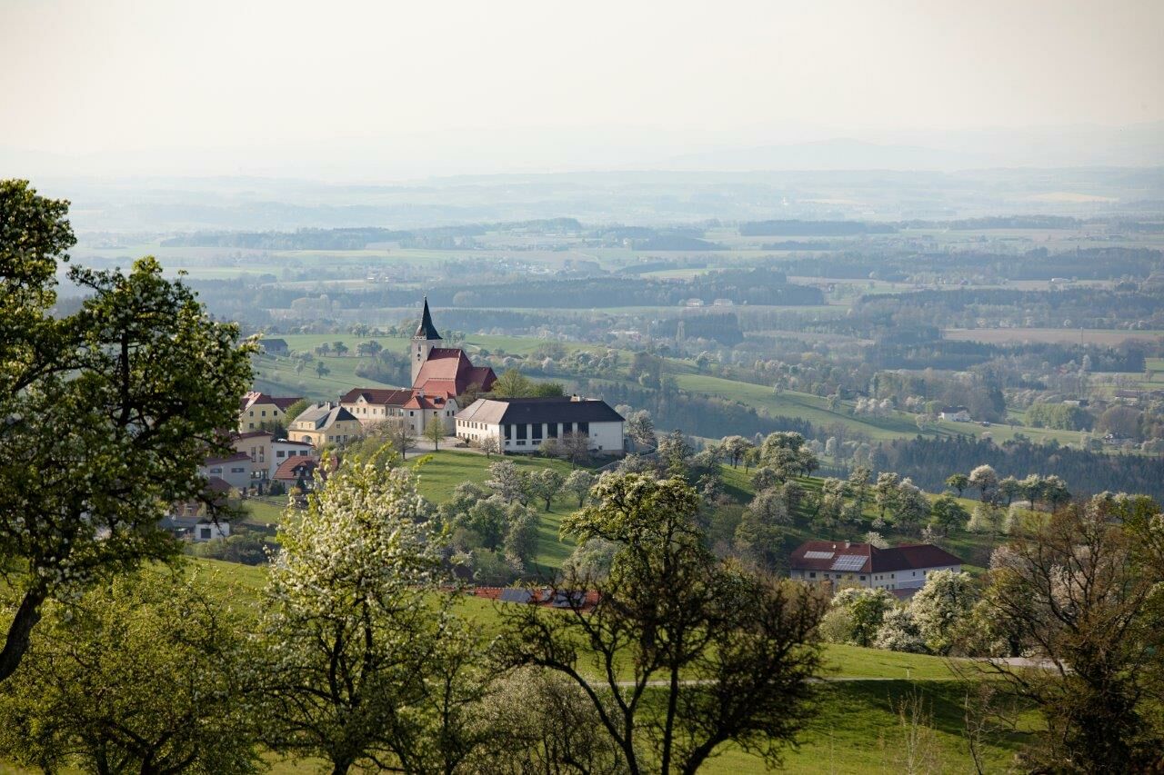
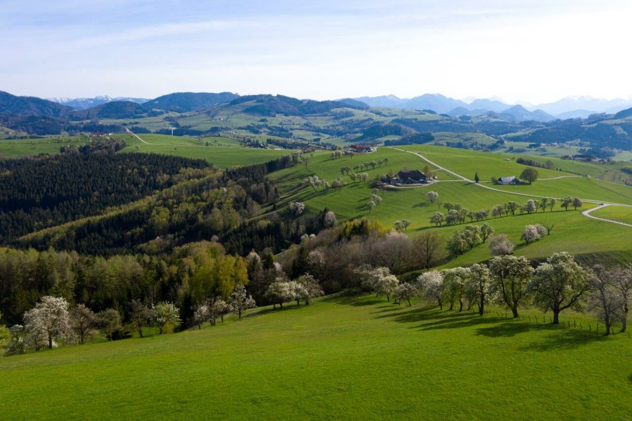
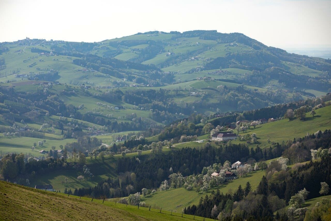
The 11.5 km long trail leads to the observatorium's view of the Alps' foothills, to the family Heuras' vineyard, to St. Michael/Bruckbach, to the vineyard Fehringer, and along the Urlbaches (river) back to Ertl
- Difficulté
-
facile
- Évaluation
-
- Parcours
-
Gasthaus Lohnecker0,2 kmPfarrkirche Ertl0,2 kmErtl0,3 kmLandgasthaus Wendtner1,9 kmRastberg (688 m)4,7 kmStellkogel (657 m)6,2 kmBuchenberg (729 m)7,2 kmVoralpenblick7,4 kmErtl11,2 km
- Meilleure saison
-
janv.févr.marsavrilmaijuinjuil.aoûtsept.oct.nov.déc.
- Hauteur maximale
- 718 m
- Point de mire
-
Ortsplatz Ertl
- Profil en hauteur
-


- Auteur
-
La randonnée Wanderweg Voralpenblick est utilisé par outdooractive.com fourni par.
GPS Downloads


Informations générales
Prometteur
Autres parcours dans les régions
-
Traunviertel
1940
-
Moststraße
754
-
Ertl
277