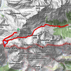
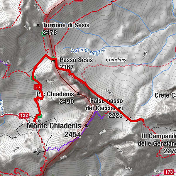
34 CACCIATORI PASS from the Calvi refuge - Sappada

Chemin de Grande Randonnée

© © Piller Hoffer Manuel

© © Giovanni Borella

© © Davide Borella

© © Davide Borella

© © Davide Borella

© Friuli Venezia Giulia - Giovanni Borella

- Brève description
-
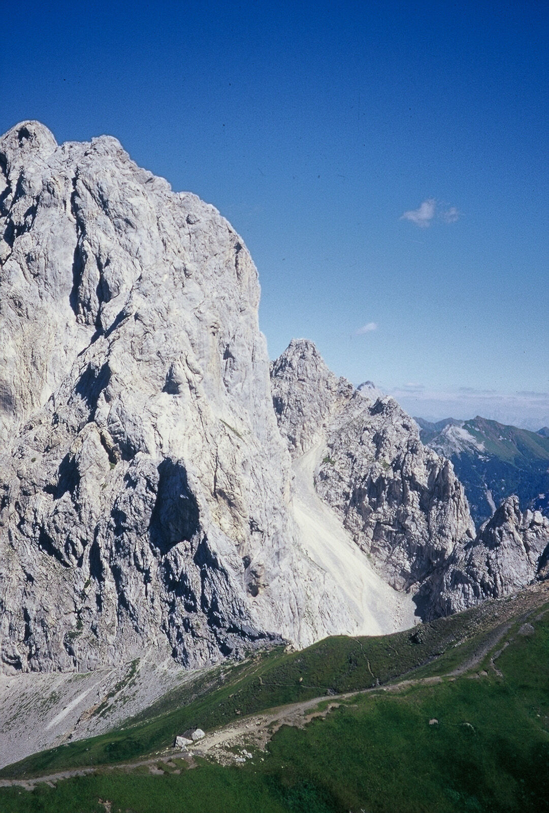
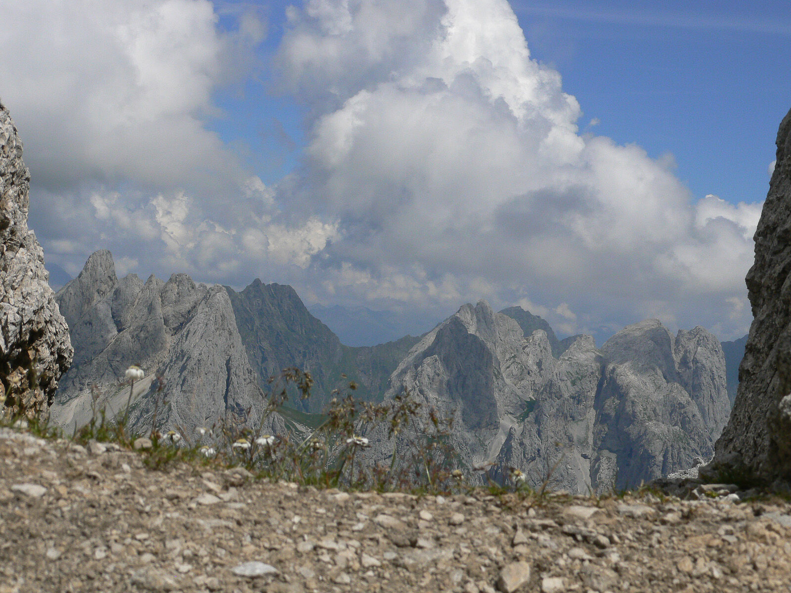
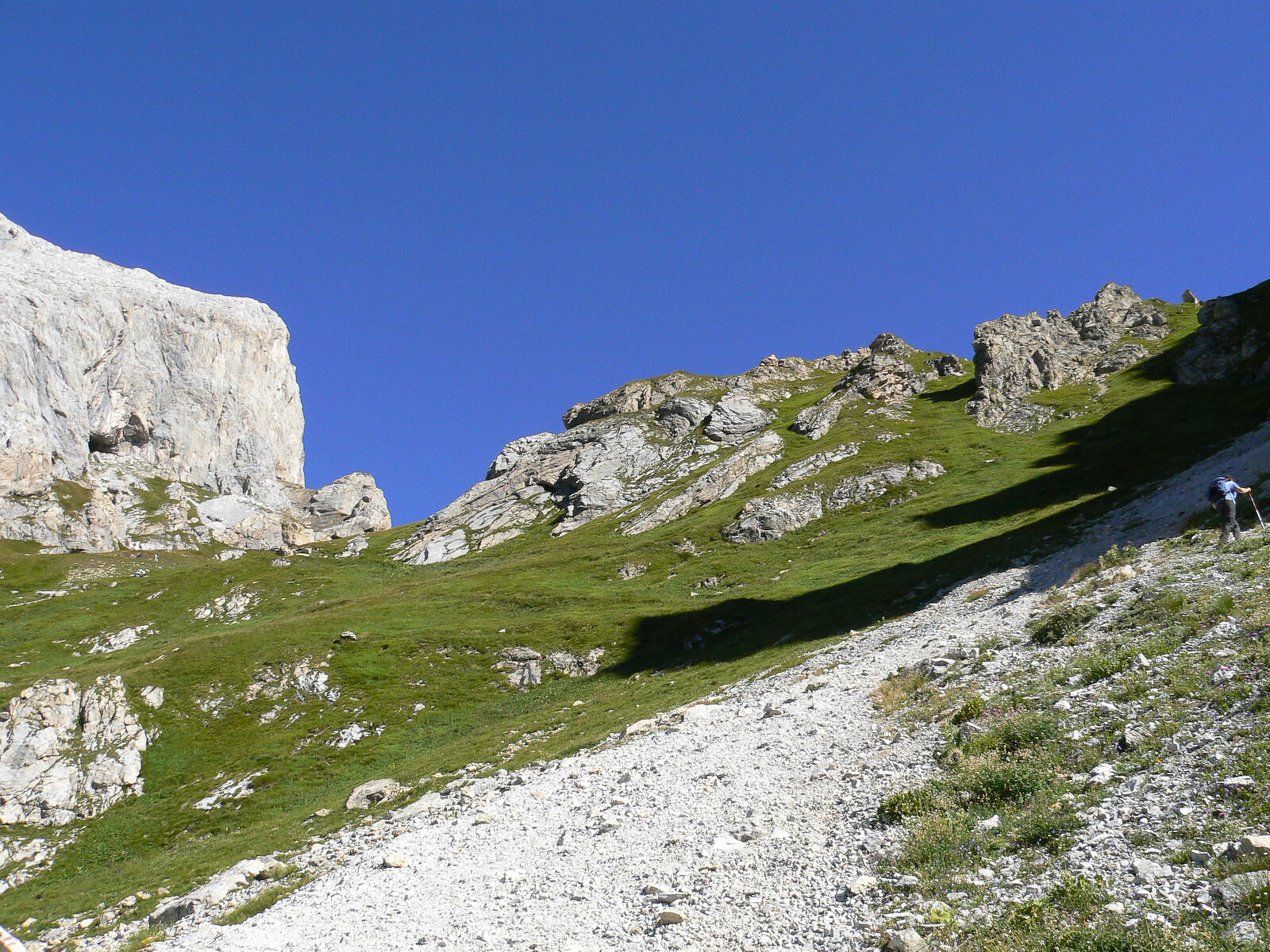
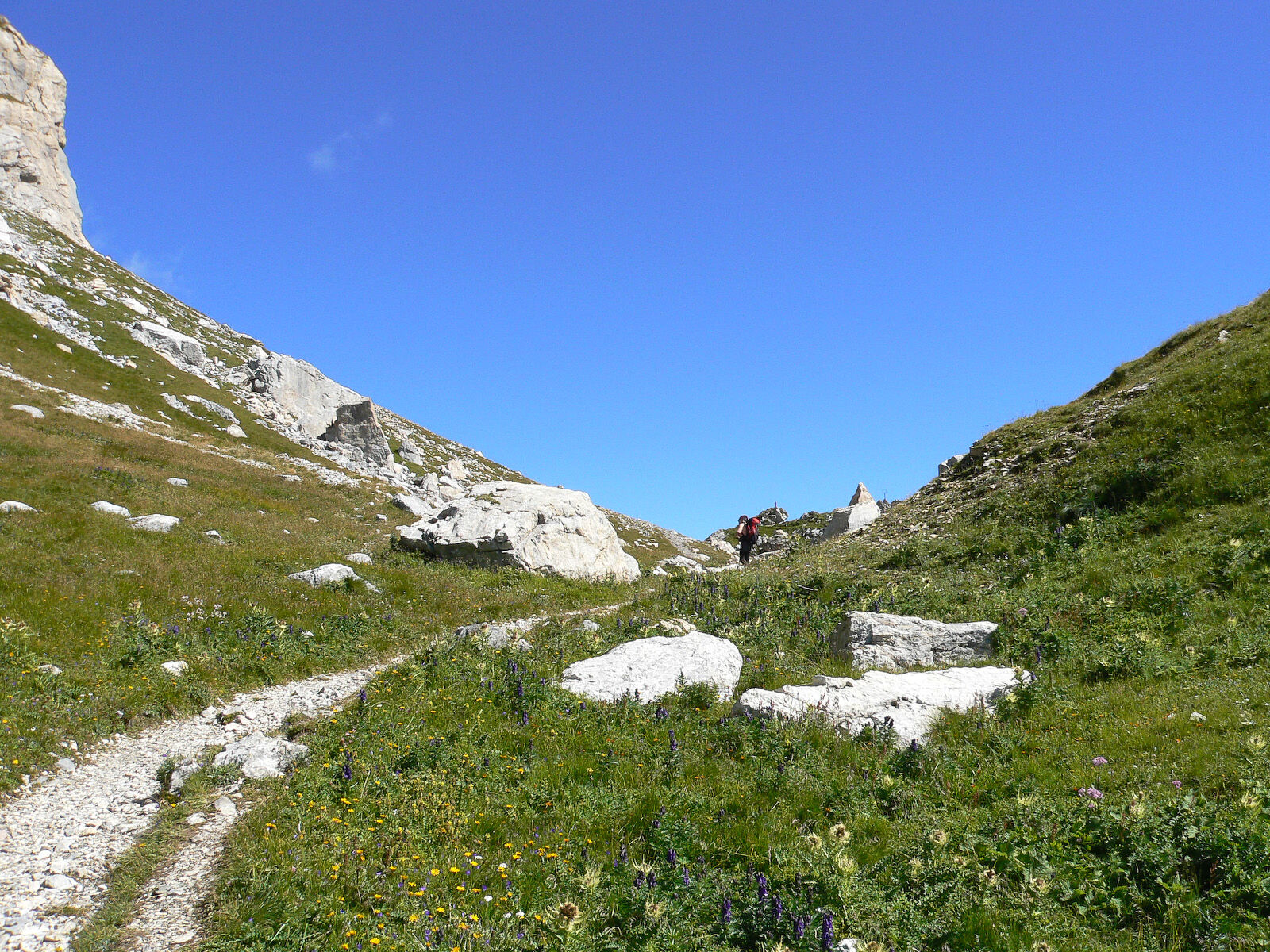
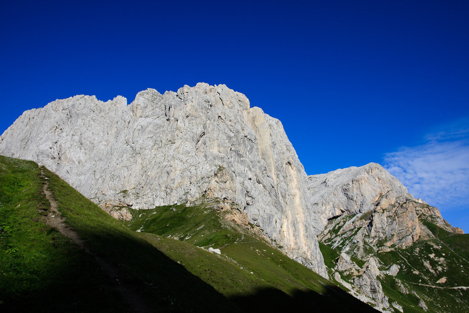
The saddle located between the rocks at the base of Creta Cacciatori to the east and a small area of grassy and rocky high ground to the west, the so-called Creta di Casera Vecchia (2285 m), which in turn defines another large grassy saddle, the false passo dei Cacciatori pass, beyond which rise the steep south-eastern rock faces of monte Chiadènis.
- Difficulté
-
moyen
- Évaluation
-
- Parcours
-
Rifugio Pier Fortunato Calvi0,0 kmPic Chiadenis (2.490 m)1,2 km
- Meilleure saison
-
janv.févr.marsavrilmaijuinjuil.aoûtsept.oct.nov.déc.
- Hauteur maximale
- 2.314 m
- Point de mire
-
Passo dei Cacciatori
- Profil en hauteur
-
 © outdooractive.com

-

-
AuteurLa randonnée 34 CACCIATORI PASS from the Calvi refuge - Sappada est utilisé par outdooractive.com fourni par.
GPS Downloads


Autres parcours dans les régions